01
St. Gerlach & Geul: 3.5 km from Onderstestraat
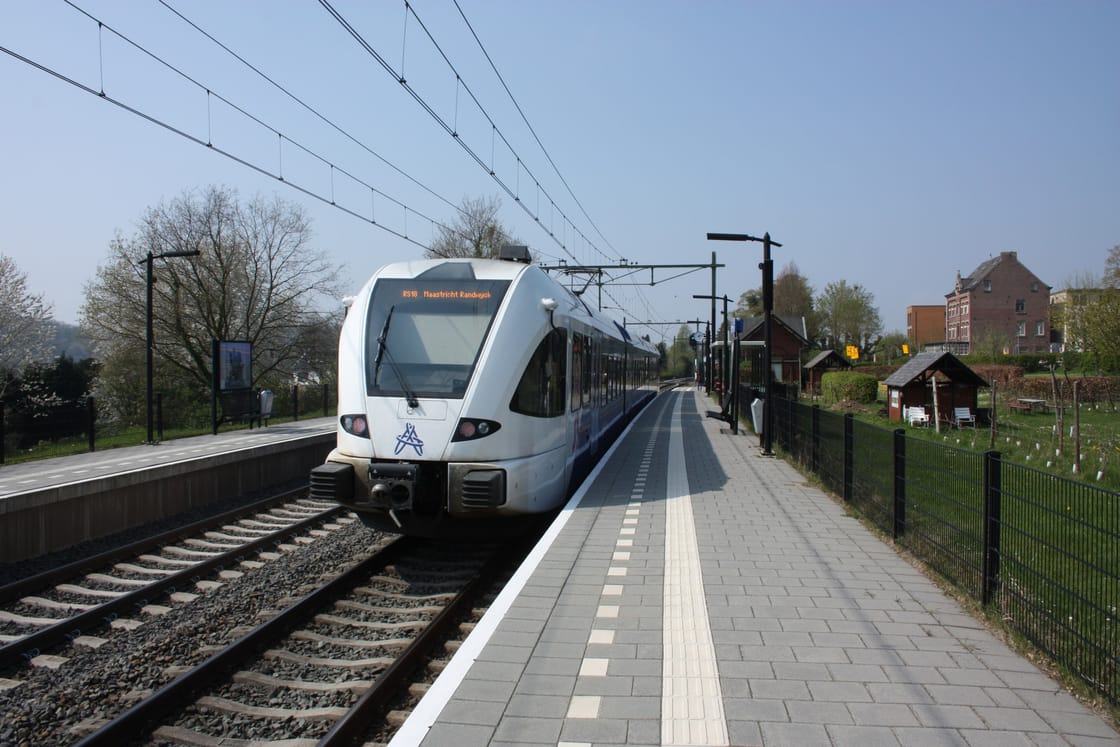
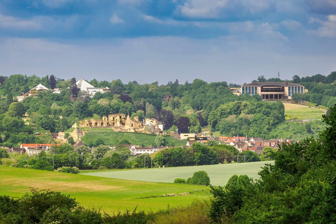
Visit Zuid-Limburg places the start at Onderstestraat in the Houthem–Sint Gerlach area and describes a route through the Geul landscape near Château St. Gerlach. Download its current GPX or PDF before leaving. Houthem–St. Gerlach is the relevant rail stop to compare; use the planner for the train and map your separate walk from the station to the start.
02
Geulwandeling: 5.7 km, starting in Geulhem
The official starting point is the junction of Geulweg and Geulhemmerweg in Geulhem. The route uses walking junctions and explores Ingendael and the Geul towards St. Gerlach. This is a valley outing rather than a walk around the town's main sights. Keep the official file available offline and check the latest notices; arranging the approach is part of the trip.
03
Conditions, cattle and access
The Geulwandeling operator warns of Highland cattle in Ingendael: keep at least 25 metres away and dogs on a lead. Check weather and any route closure before departure, wear suitable shoes and turn back rather than entering a closed path. Ask the route operator about your mobility needs; no step-free certification is provided here. Take water and choose your daylight window before extending the walk.
04
Fit the walk into a town visit
Use the shorter walk as a separate half-day choice with room for travel and lunch. For a two-day stay, keep the castle and cave on one day and the valley on the other. If travelling from Maastricht, compare a direct train arrival at Houthem–St. Gerlach with returning through Valkenburg; verify the actual services and ticket rules rather than assuming a circular rail itinerary.
E
Evidence for this page
→