01
What 2026 confirms
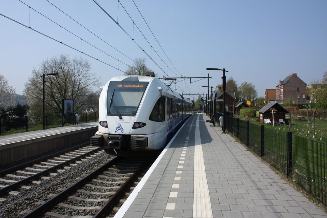
The official NS 2026 network map shows Valkenburg, Houthem-St. Gerlach and Schin op Geul on the local rail corridor. Valkenburg also sits in the cross-border RE18 context toward Maastricht and Aachen.
- The map proves network position, not a service on a specific date.
- Use NS or Arriva shortly before travel for disruption, stops and accessible routing.
- We publish no fixed frequencies, last trains, fares or connection guarantees.
02
Choose the right station
Valkenburg
For the centre, lower Cauberg and the largest concentration of visitor facilities. Check the climb to your address.
Houthem-St. Gerlach
For Houthem-Sint Gerlach and the Ingendael context. Do not expect centre-scale visitor facilities.
Schin op Geul
For Schin op Geul, walking routes and a quiet village base. Oud-Valkenburg or Walem addresses may add a last mile.
03
A robust two-day pattern
- Day 1: arrive at Valkenburg station; centre plus one booked leisure block.
- Night: stay in the zone of the evening activity.
- Day 2: train or walk to a village zone; leave from the station that fits.
04
Accessibility
Hills, cobbles, caves and station access need individual checks. Gemeentegrot publishes accessibility details, but these must not be generalised to other caves or all of Cauberg.
Gemeentegrot describes its walking tour as about 2 kilometres over 60 minutes. Wheelchair users can join, but there are some changes in floor level. The train tour requires a boarding step; a buggy can be left at the boarding point. Discuss specific access needs with the operator before visiting.
E
Evidence for this page
→
More practical guides
Chosen your area and journey? Check accommodation for your dates.
Compare stays